Products You May Like
Billions of dollars in federal funding from the Biden administration’s Infrastructure Investment and Jobs Act could be wasted because state highway and bridge projects are using an outdated government precipitation model to determine future flood risk, according to a new report from First Street Foundation, a nonprofit climate risk research and technology firm.
The government’s precipitation expectation model from the National Oceanic and Atmospheric Administration, or NOAA, is called Atlas 14. States use it widely to inform the engineering design of transportation infrastructure, such as roads and bridges, by predicting rainfall and, consequently, flooding.
But Atlas 14 is based on backward-looking data going as far as the 1960s and does not incorporate the effects of global warming into its model.
The First Street report compared the government’s precipitation forecasting standard, which is used by and sometimes mandated for state infrastructure projects, with much more current rainfall data that projects into the future.
It found a dangerously wide discrepancy between the two.
“All that money that is going into the infrastructure is being built to the wrong flood standard, meaning those roads will flood, those bridges will flood, and it is a big waste of money when it’s a once-in-a-generational spend that we’re actually using right now,” said Matthew Eby, founder and CEO of First Street Foundation.
NOAA confirmed that Atlas 14 does not incorporate the future effects of climate change in its model.
“It does not include any climate change information,” said Fernando Salas, director of the Geo-Intelligence Division for the NOAA/National Weather Service, Office of Water Prediction. ”It leverages the best available historical precipitation data that was available the time that the study was performed.”
Critics of Atlas 14 say it has more problems than just backward-looking data, including “the removal of extreme precipitation observations and the use of inconsistent methods across the U.S. as Atlas 14 was created piecemeal over time,” according to the First Street report. Those extreme precipitation events are the ones that directly lead to flash floods and overwhelm stormwater infrastructure, the report says.
Extreme rainfall events have become heavier and more frequent across most of the United States because as temperatures warm, the atmosphere can hold more water. Since 1991, the amount of rain falling in very heavy precipitation events has been significantly above average, according to the 2014 National Climate Assessment. It found that heavy downpours increased 71% in the Northeast, 37% in the Upper Midwest, and 27% in the Southeast from 1958 to 2012. This has led to an increase in flooding.
NOAA officials are well aware of the issues with Atlas 14. The agency has received over $30 million in funding to modernize it to Atlas 15, “to not only use the best available historical information, but also leverage outputs from the various different climate models that are available today,” Salas said.
But the updated model is not expected to be done until 2026, after many of these infrastructure projects are underway or even done.
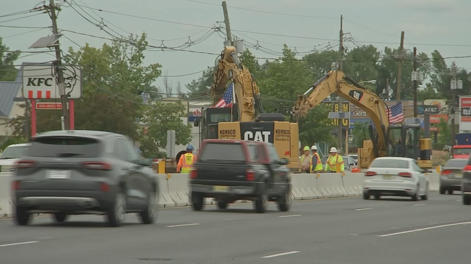
For example, New Jersey’s Route 18 rehabilitation project, which received more than $86 million in funding from the Infrastructure Act, is using the old Atlas 14 as a flood guide, according to documents on the state’s Department of Transportation website. The work includes “improvements to the drainage systems and stormwater basins, utility relocation” and other upgrades.
“Where I’m standing right now,” Eby said by the side of Route 18, “the believed one-in-10-year event is actually a one-in-four-year event, and over the next 30 years will go down all the way to a one-in-two-year event, meaning every other year we would expect extreme precipitation to flood this location.”
The New Jersey Department of Transportation confirmed the use of Atlas 14 data for the project, “as required by current standards, and NJDOT reviewed updated data as well,” according to an emailed response from the agency’s press manager, Stephen Schapiro.
That data is from an NJ Department of Environmental Protection proposal for updates to the state’s stormwater management regulations. But, according to First Street, the precipitation data uses the same historical methodology as Atlas 14, which, “is not effective in the 21st century because they are using outdated data records,” Eby said.
It is not the only state using Atlas 14 to inform its infrastructure projects.
“I can’t speak to how some of those engineering decisions are made,” Salas said when asked if Atlas 14 should still be used.
There are multiple climate risk modeling firms with vast precipitation forecasting data, but most charge for it, and states already have the Atlas 14 data.
Eby said he would make an exception.
“We sell our flood model for commercial use, but if NOAA wanted to use this for a stopgap until Atlas 15, we would give it to them for free, or if any state wanted to adopt this precipitation model we would provide our precipitation data to them for free as well,” he said.
